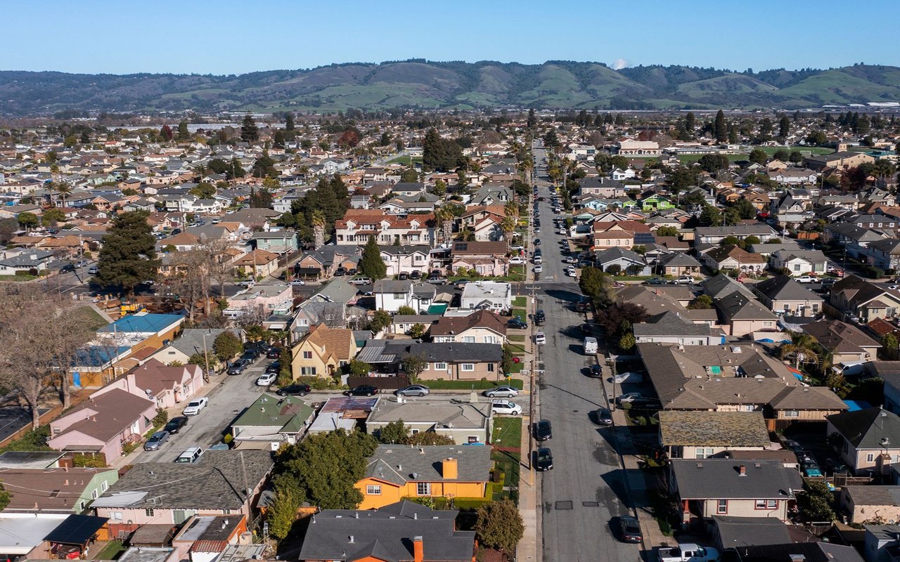
Watsonville offers a wider variety of homes, neighborhoods, and price points than many other parts of Santa Cruz County.
The city has a recognizable downtown centered around the historic plaza, along with established residential streets, newer subdivisions, condominiums, townhomes, and neighborhoods near parks, schools, shopping, and major commute routes. Watsonville is also surrounded by the farms, orchards, wetlands, and open countryside of the Pajaro Valley.
Downtown Watsonville is evolving through a long-term plan focused on housing, commercial activity, public spaces, and a more active mixed-use city center.
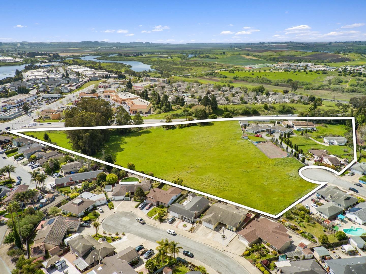
The experience can change considerably depending on the neighborhood. Some homes provide convenient access to downtown and everyday services, while others sit closer to agricultural land, wetlands, Highway 1, Corralitos, or the rural edges of the city.
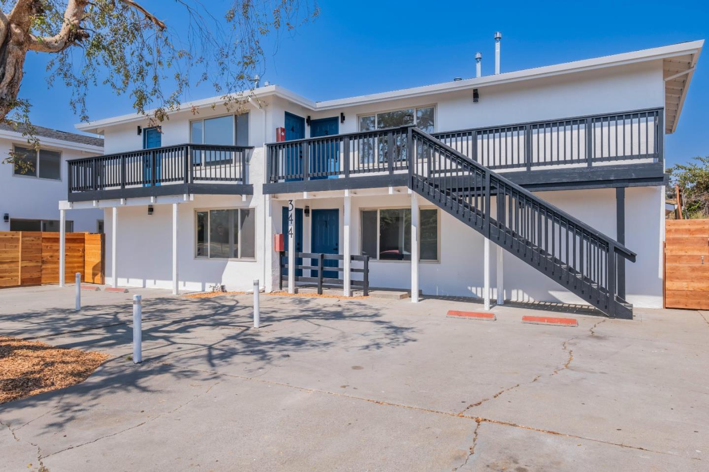
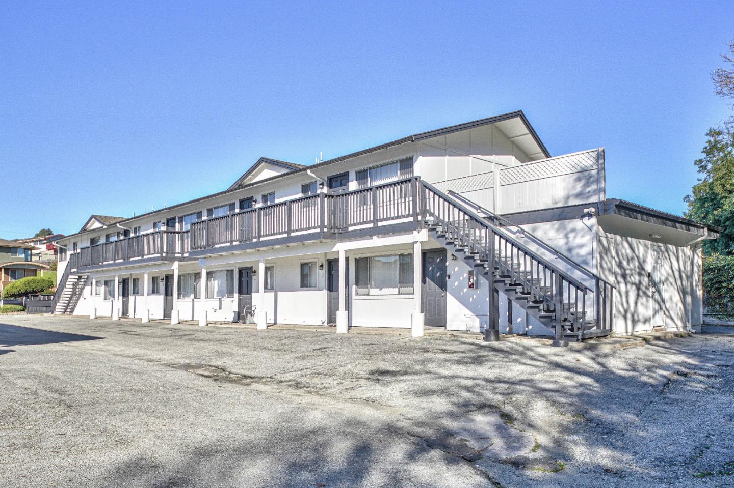
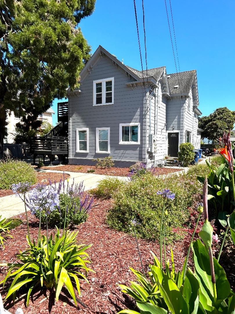
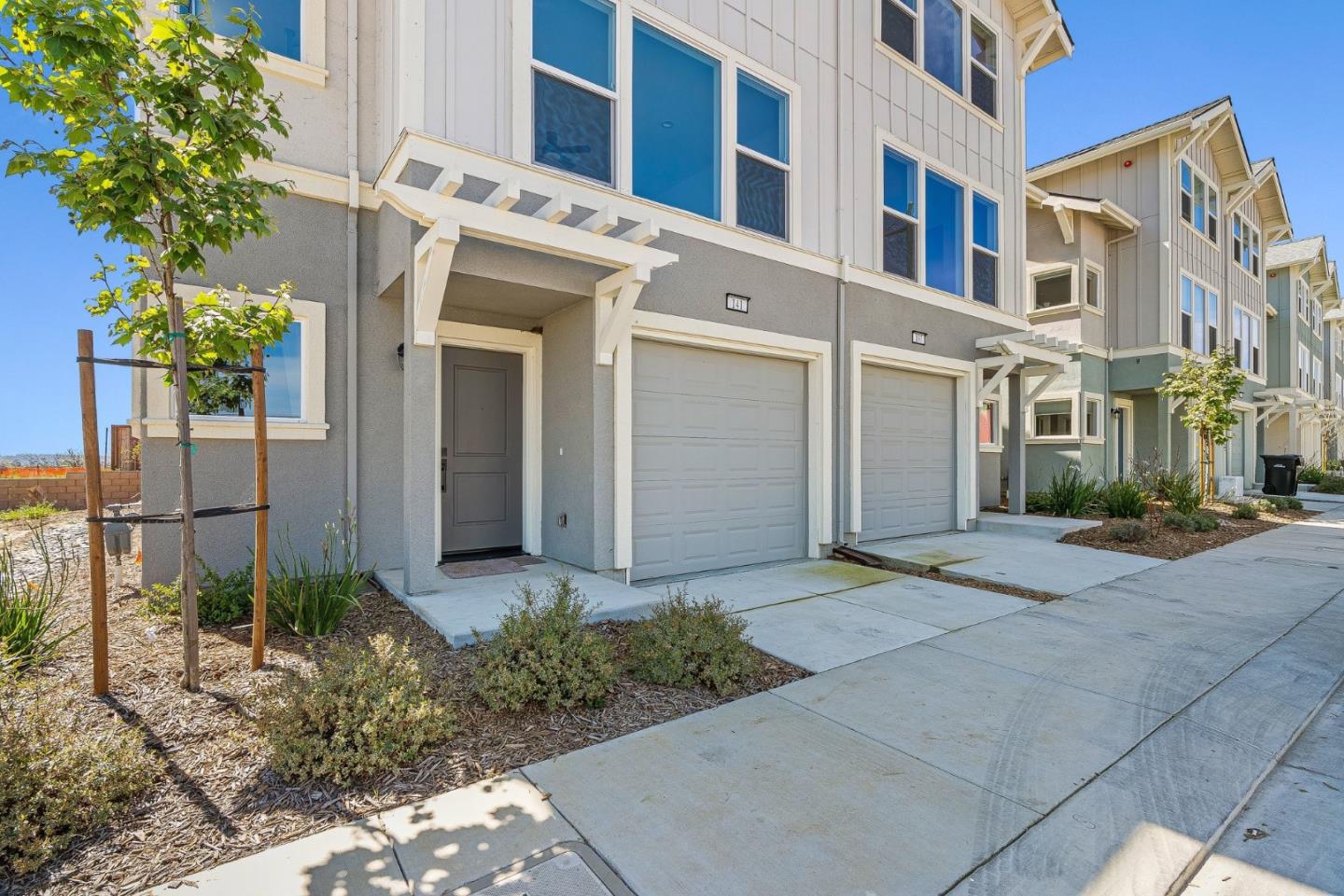
Watsonville real estate includes historic houses, mid-century homes, established subdivisions, townhomes, condominiums, newer construction, mobile homes, and properties on larger parcels outside the city’s denser neighborhoods.
Buyers should distinguish between properties located within Watsonville city limits and homes that use a Watsonville mailing address but are located in unincorporated Santa Cruz County. Planning departments, utilities, permits, roads, water systems, septic requirements, and property responsibilities may differ.
The exact location also affects commute patterns. Watsonville can provide convenient access to Highway 1, Monterey County, Aptos, Corralitos, and the Pajaro Valley, but northbound traffic should be tested during the hours the buyer will actually travel.
Buying in Watsonville requires more than comparing price and square footage.
Important questions may include:
Flood risk should be evaluated property by property. Portions of Watsonville near the Pajaro River, Corralitos Creek, and Salsipuedes Creek are within FEMA-defined Special Flood Hazard Areas. The city provides maps and property-specific flood-zone information.
Watsonville’s wetlands are also a defining part of the city. The local trail system provides access to approximately 800 acres of freshwater wetlands, with entrances located throughout several neighborhoods.
These considerations do not automatically make a property undesirable. They help determine whether the home, location, insurance costs, and responsibilities fit the buyer’s plans.
Selling a Watsonville home requires neighborhood-specific positioning.
A historic property near downtown, a home in an established subdivision, a newer residence, and a rural-edge property may appeal to different buyers. They should not automatically be prepared, priced, or marketed the same way.
Buyers may closely examine permits, property condition, flood-zone status, utilities, parking, lot usability, commute access, and previous improvements. Organizing permits, repair records, inspection reports, and information about major systems before going to market can reduce uncertainty.
Pricing should reflect the specific neighborhood, condition, lot, property type, improvements, and location—not simply the Watsonville ZIP code.
My role is to help buyers and sellers understand how the home, neighborhood, and long-term tradeoffs work together.
Considering buying or selling in Watsonville? Let’s look at the property, the location, and the complete picture.
82,409 people live in Watsonville Real Estate, where the median age is 36.8 and the average individual income is $35,499. Data provided by the U.S. Census Bureau.
Total Population
Median Age
Population Density Population Density This is the number of people per square mile in a neighborhood.
Average individual Income
There's plenty to do around Watsonville Real Estate, including shopping, dining, nightlife, parks, and more. Data provided by Walk Score and Yelp.
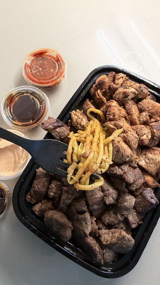
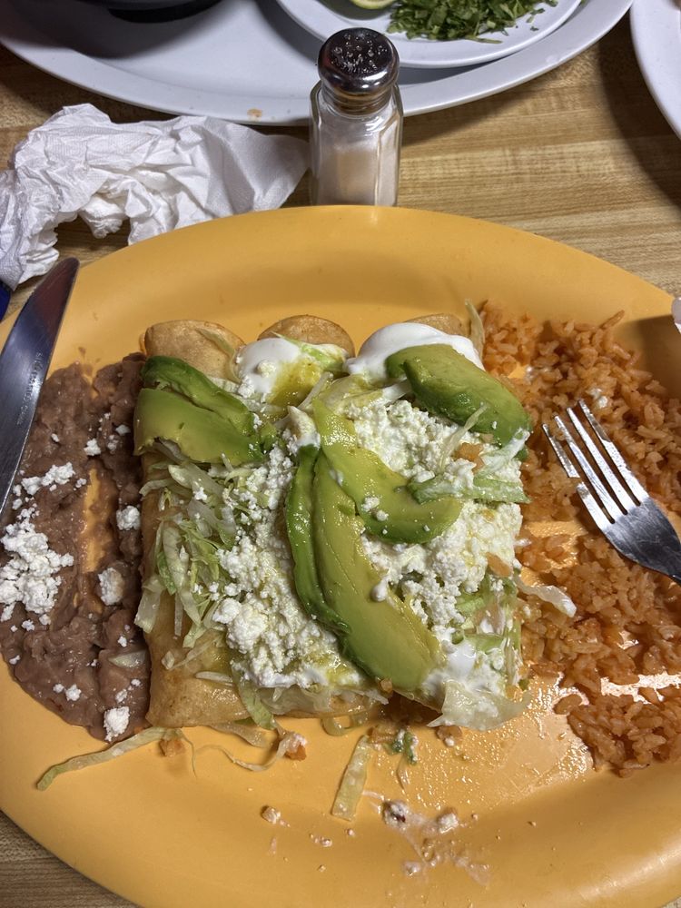
Explore popular things to do in the area, including J E Farms, Hot Birds 2, and Asando Con Ganas.
| Name | Category | Distance | Reviews |
Ratings by
Yelp
|
|---|---|---|---|---|
| Dining | 0.34 miles | 0 reviews | 0/5 stars | |
| Dining | 0.38 miles | 0 reviews | 0/5 stars | |
| Dining | 0.38 miles | 12 reviews | 3.3/5 stars | |
| Dining | 0.4 miles | 11 reviews | 2.8/5 stars | |
| Dining | 0.47 miles | 1 review | 5/5 stars | |
| Dining · $$ | 0.49 miles | 64 reviews | 3/5 stars | |
| Dining · $$ | 1.02 miles | 58 reviews | 4.6/5 stars | |
| Dining | 1.02 miles | 1 review | 5/5 stars | |
| Dining · $$ | 1.03 miles | 8 reviews | 3.5/5 stars | |
| Dining | 1.04 miles | 64 reviews | 3.9/5 stars | |
| Dining | 1.04 miles | 1 review | 4/5 stars | |
| Dining · $$ | 1.04 miles | 385 reviews | 4.6/5 stars | |
| Dining · $$ | 1.05 miles | 125 reviews | 3.8/5 stars | |
| Shopping | 1.02 miles | 0 reviews | 0/5 stars | |
| Active | 1.01 miles | 1 review | 4/5 stars | |
| Active | 1.01 miles | 6 reviews | 3.7/5 stars | |
| Beauty | 0.31 miles | 0 reviews | 0/5 stars | |
| Beauty | 0.61 miles | 0 reviews | 0/5 stars | |
| Beauty | 0.97 miles | 79 reviews | 2.1/5 stars | |
| Beauty | 1.02 miles | 15 reviews | 4.7/5 stars | |
| Beauty | 1.02 miles | 19 reviews | 4.4/5 stars | |
|
|
||||
|
|
||||
|
|
||||
|
|
||||
|
|
||||
|
|
Watsonville Real Estate has 24,799 households, with an average household size of 3.26. Data provided by the U.S. Census Bureau. Here’s what the people living in Watsonville Real Estate do for work — and how long it takes them to get there. Data provided by the U.S. Census Bureau. 82,409 people call Watsonville Real Estate home. The population density is 610 and the largest age group is Data provided by the U.S. Census Bureau.
Total Population
Population Density Population Density This is the number of people per square mile in a neighborhood.
Median Age
Men vs Women
Population by Age Group
0-9 Years
10-17 Years
18-24 Years
25-64 Years
65-74 Years
75+ Years
Education Level
Total Households
Average Household Size
Average individual Income
Households with Children
With Children:
Without Children:
Marital Status
Blue vs White Collar Workers
Blue Collar:
White Collar: